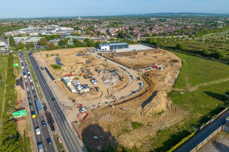
Strategic Land
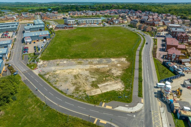
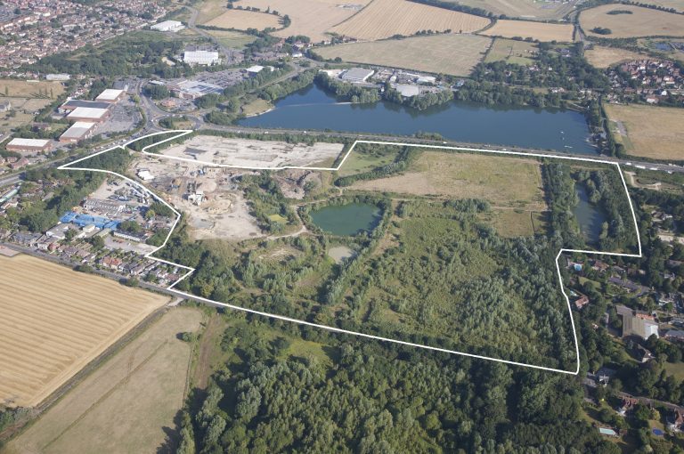
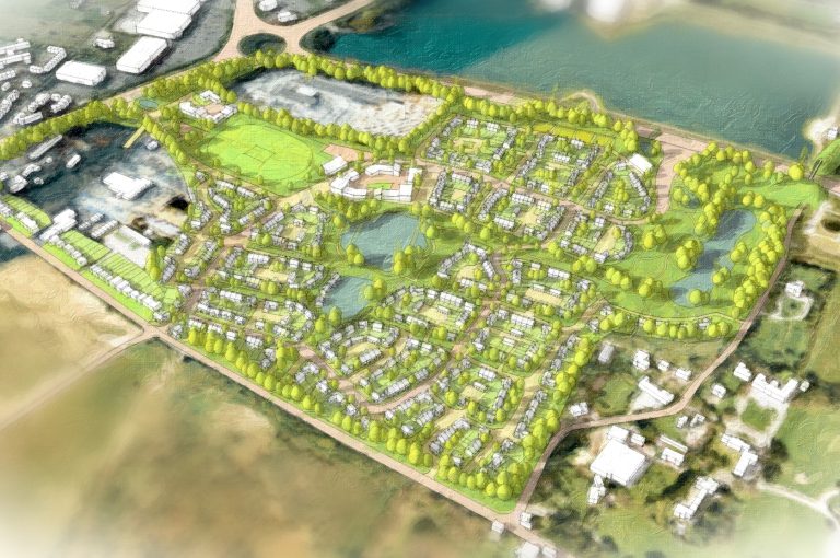
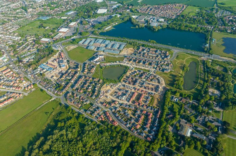
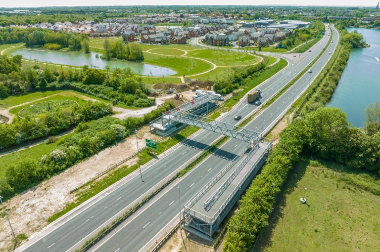
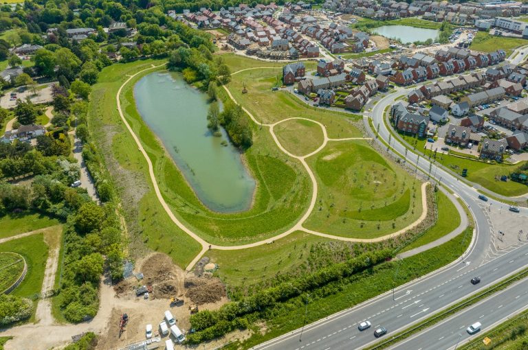
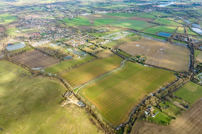
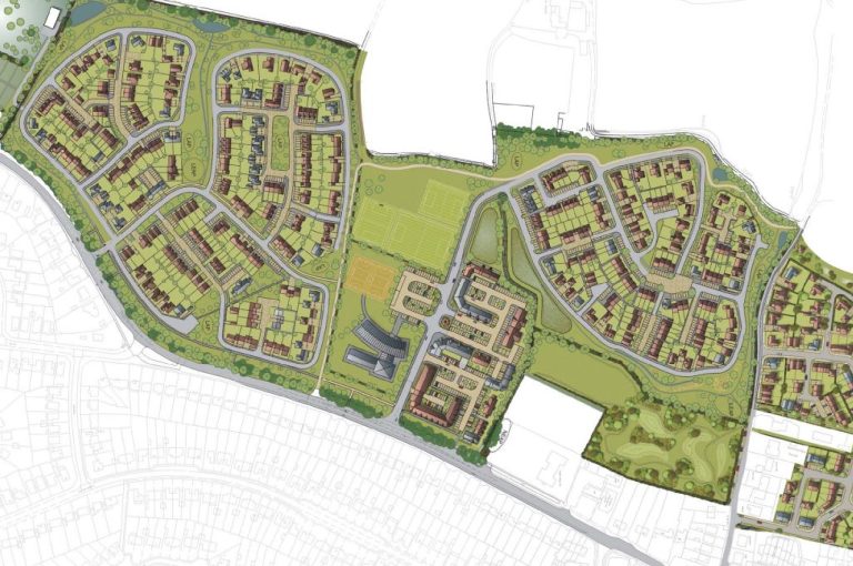
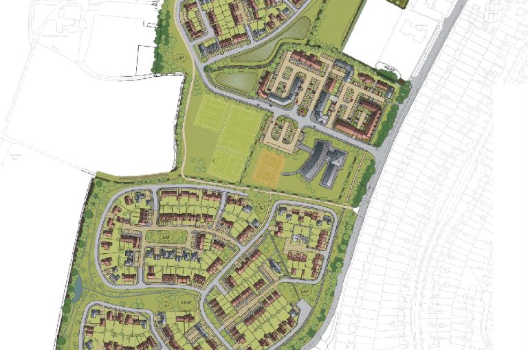
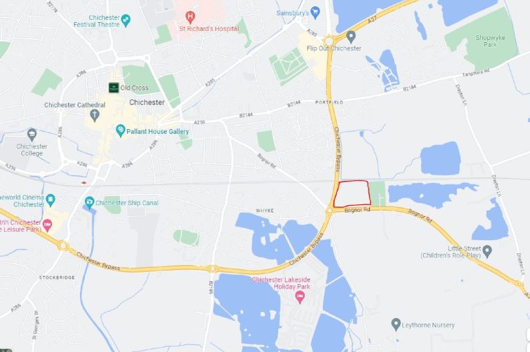
Shopwyke Lakes, Chichester
Site area: 90 Acres (36.5 hectares)
Planning:
Local Planning Authority: Chichester District Council
Planning Reference Number: O/11/05283/OUT and O/15/03720 (as varied and amended)
Consented uses:
585 residential units
75,000 sq ft Care Home
47,000 sq ft Employment Space
24,000 sq ft Neighbourhood Centre
3,000 sq ft Sports Pavilion
Sports Pitch and 30 acres of Public Open Space
Infrastructure:
Infrastructure investment: £15m
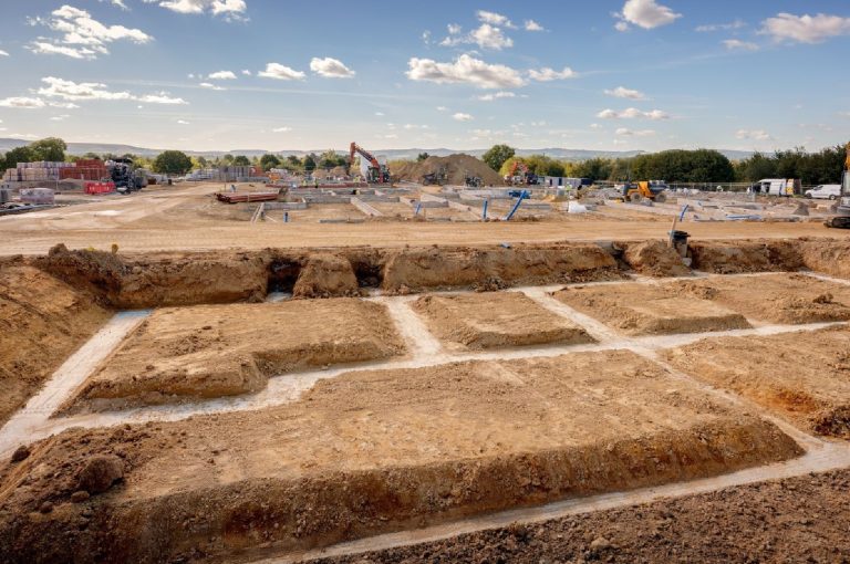
Works included:
Demolition and Remediation
70 acres of earthworks, to include stabilisation
Multiple s278 highways package, to include new B-road, upgrades, and new junctions onto the A27, and 2 new pedestrian footbridges over National Highways Roads
New utility infrastructure, including diversion of existing 33kVA overhead cables
Site-wide Public Open Space implementation
Transactions:
398 plots to CALA homes
187 plots to Taylor Wimpey
18 plots to BRiCS Developments
87-bed Care Home plot to Berkley Care
Further letting and disposal transactions will take place in due course
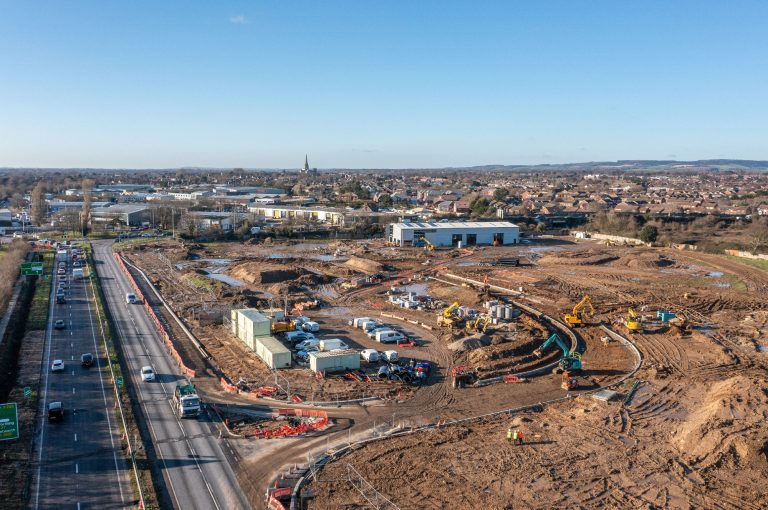
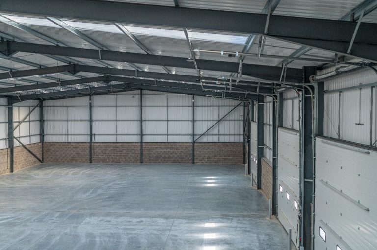
Development & Investment
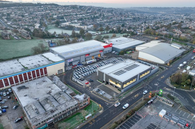
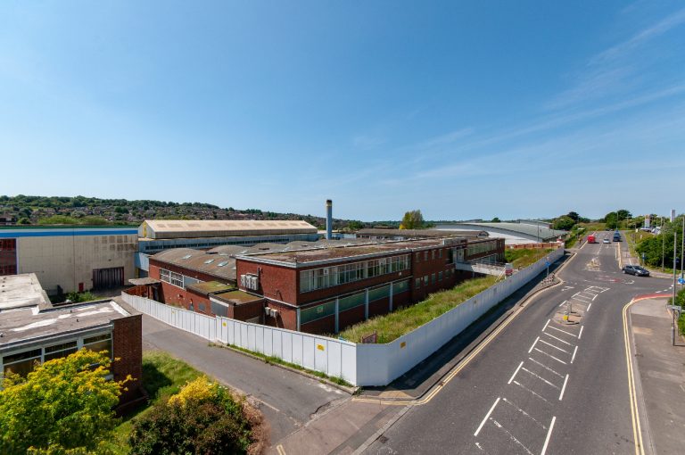
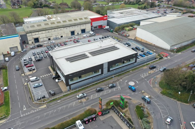
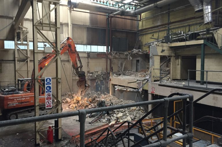
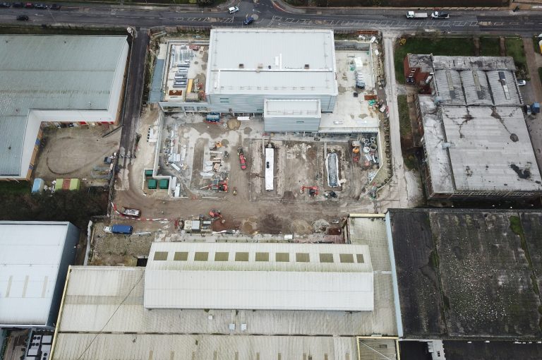
Brighton Trade Park, Brighton
Site area: 4 Acres (1.6 hectares)
Planning:
Local Planning Authority: Brighton & Hove City Council
Planning Reference Number: BH2017/01280 (Site-wide Detailed Permission)
Planning Description: Erection of a new 3 storey car dealership (Sui Generis) with basement and undercroft. The conversion of the rear buildings to a builder’s merchant (Sui Generis), warehouse and trade use (B8) with provision of associated parking, cycle parking and landscaping.
Infrastructure:
Infrastructure investment: £2.5m
Works included:
Demolition and Remediation
S278 highways works
New Estate Road
New utility infrastructure
Public Art
Construction:
Extensive refurbishment of 55k sq ft of existing high-bay warehousing, with works including:
Re-cladding and roofing of entire external building envelope
Suspended structural floor reinforcement
New external forecourt with associated drainage
New Party Walls
Transactions:
Sale of 1.5 acres to Harwoods for a new, multi-storey Jaguar Land Rover dealership
Pre-Let to Screwfix (4,000 sq ft)
Pre-Let to Howdens (8,500 sq ft)
Pre-Let to Henfield Storage (26,000 sq ft)
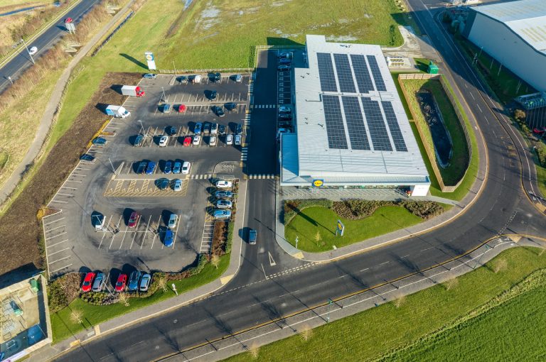
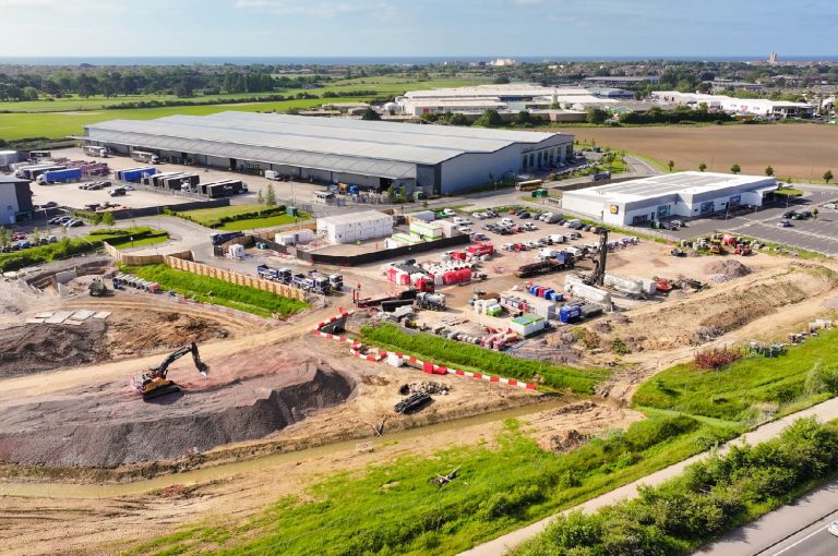
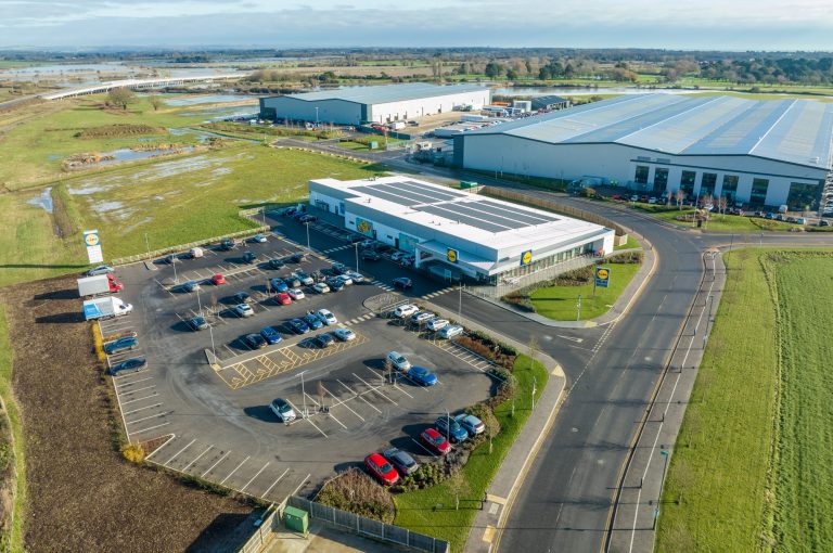
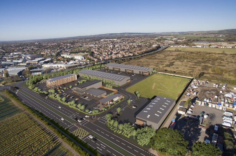
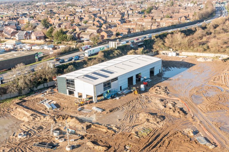
Development & Investment
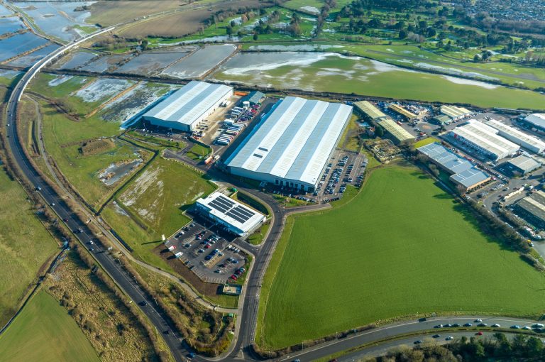
Oldlands Farm, Bognor Regis
Site area: 90 Acres (36.5 hectares)
Planning:
Local Planning Authority: Arun District Council
Planning Consent 1:
(Rolls-Royce Logistics Warehouse)
Reference Number: AL/58/15/OUT and AL/44/18/RES
Description: Hybrid application (1) Full planning application for earth works to facilitate flood compensation area & (2) Outline planning for up to 20,453 sqm of B2 industrial floorspace with B8 warehousing & distribution.
Planning Consent 2:
(Lidl Supermarket)
Reference Number: BE/126/19/PL
Description: Erection of a 1,410 sqm discount convenience retail food store (Use Class A1) with associated parking and landscaping.
Planning Consent 3:
(Last-Mile Logistics Facility for Multi-National Online Retailer)
Reference Number: AL/87/21/PL
Description: Erection of a warehouse (Use Class B8) with ancillary office, associate vehicle parking, van storage, plant, ancillary structures, lighting, landscaping and infrastructure works including earthworks to facilitate flood compensation area.
Planning Consent 4:
(Outline Application for 200k sq ft Distribution Warehouse)
Reference Number: BE/150/22/OUT
Description: Outline planning application with all matters reserved save for access for demolition of existing derelict building and erection of up to 18,580sqm of new industrial/warehouse (Use Class B2/B8) with ancillary office floorspace.
Infrastructure:
Infrastructure investment: £15m
Works included:
Demolition and Remediation
Estate Road
New Utility Services
Earthworks for Flood Compensation Area
Transactions:
Sale of 23.4 acres to Rolls Royce
Sale of 1.5 acres to Lidl
Sale of 17.35 acres to Multi-National Online Retailer
Further letting and disposal transactions will take place in due course
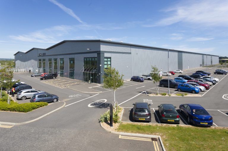
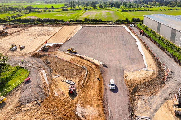
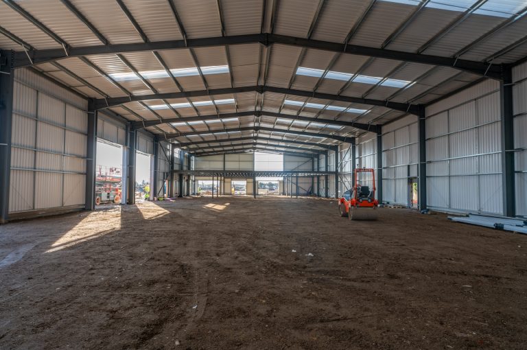
Development & Investment
Cathedral Business Park, Chichester
Site area: 12 acres (4.85 hectares)
Planning:
Local Planning Authority: Chichester District Council
Planning Consent 1:
Reference Number: O/19/00619/OUT (Site-wide Outline Permission)
Description: Mixed-use redevelopment of the site, comprising of Class B1(c)/B2/B8 (with ancillary Trade Counter) employment, a Hotel, Class D2 Leisure, Class A3, mixed A3-A4 and mixed A3-A5 Food and Drink Establishments, together with associated car parking, landscaping and infrastructure works.
Planning Consent 2:
Reference Number: 21/03064/FUL (Builders' Merchant Detailed Permission)
Description: Detailed application for the erection of a building for use as a Builders’ Merchant with trade counter together with access (previously approved under reference 19/00619/OUT), outside storage, landscaping, and associated works.
Infrastructure:
Infrastructure investment: £3m
Works included:
Demolition and Remediation
S278 highways works, to include new slip lane and traffic light junction
New 220m Estate Road
New utility infrastructure, including existing diversions
Transactions:
Pre-Let to MKM Building Supplies (12,500 sq ft on a 1.5 acre plot)
Sale of 2 acres to Logistics and Distribution operator
Further letting and disposal transactions will take place in due course
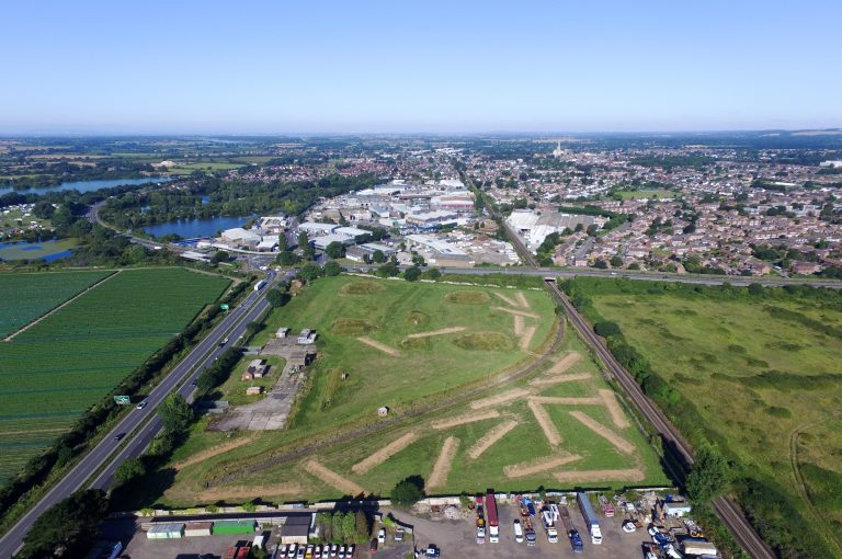
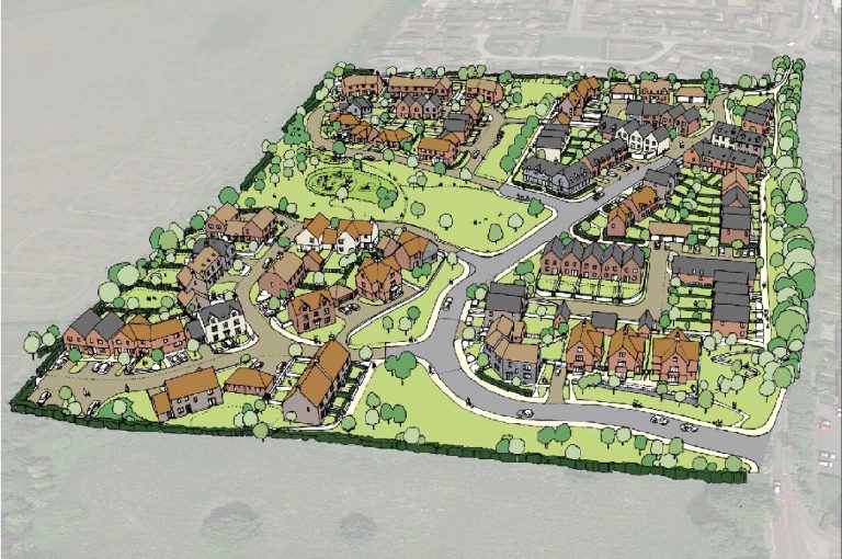
Strategic Land
Land at Woodgate, Woodgate
Site area: 27.5 acres (11.14 ha)
Planning:
Local Planning Authority: Arun District Council
Planning Consent 1:
(Outline consent for up to 95 residential units)
Reference Number: AL/129/21/OUT
Description: Outline planning application with all matters reserved (except access) for residential development with up to 95 no. dwellings (Use Class C3), informal and formal public open space, landscaping, drainage, and other associated works.
Planning Consent 2:
(Outline Application for up to 155 residential units)
Reference Number: AL/70/3/OUT
Description: Outline planning application with all matters reserved except access for residential development of the site with up to 155 dwellings (Use Class C3), informal and formal public open space, landscaping, drainage, and other associated works.
Infrastructure:
Infrastructure investment: TBC
Works included:
New junction onto A29 road
New utility infrastructure
Transactions:
Further letting and disposal transactions will take place in due course
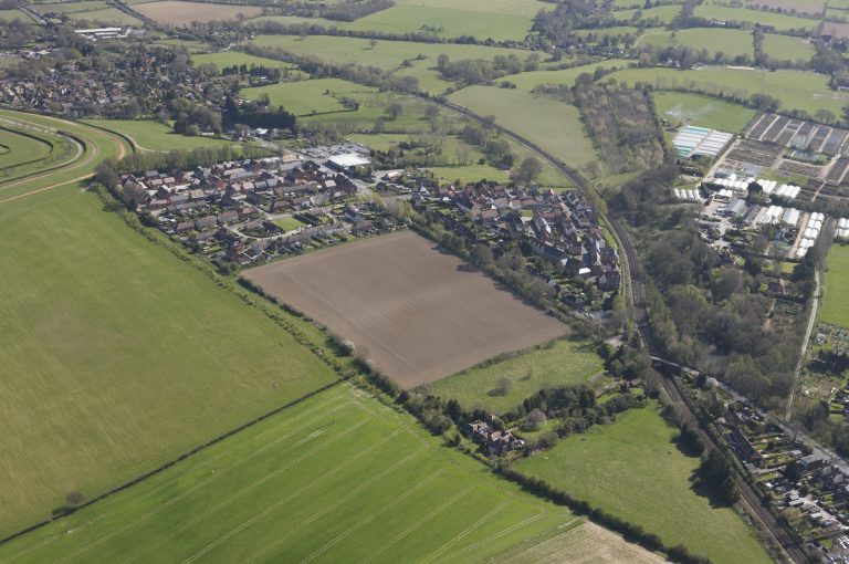
Strategic Land
Stane Street, Pulborough
Site area: 13 Acres (5.4 hectares)
Planning:
Local Planning Authority: Horsham District Council
Planning Reference Number: DC/11/0952
Planning Description: 103 dwellings with public open space
Infrastructure:
Infrastructure investment: N/S
Works included:
S278 highways works
New Utility infrastructure
Transactions:
Sale of whole site to CALA Homes
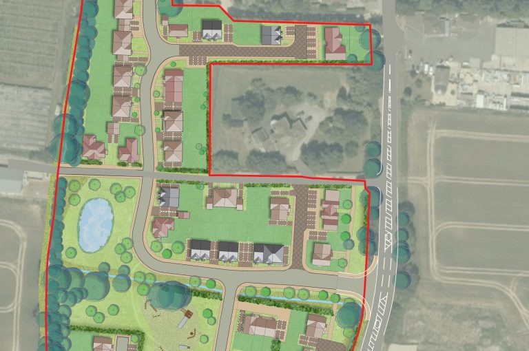
Strategic Land
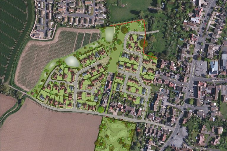
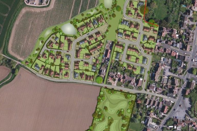
Summer & Church Lane, Pagham
Site area: 67 Acres (22.97 hectares)
Planning:
Local Planning Authority: Arun District Council
Planning Consent 1:
Reference Number: AL/58/15/OUT
Description: Outline application with some matters reserved for the erection of 90no dwellings with associated access & open space.
Planning Consent 2:
Reference Number: P/140/16/OUT
Description: Outline application for access only – mixed use development comprising of up to 400 dwellings, a care home with up to 70 beds, a local centre comprising up to 2000 sqm of A1/A2/A3/D1/Sui Generis floorspace, provision of land for a 1FE primary school, provision of land for a scout hut, safeguarding land for Pagham Harbour Cycle route.
Infrastructure:
Infrastructure investment: N/S
Works included:
Demolition and Remediation
S278 Highway Works
New Utility Infrastructure
Public Open Space
Transactions:
Sale of 90 homes to Drew Smith
Sale of 400 homes to Foreman Homes
Further letting and disposal transactions will take place in due course